Introduction:

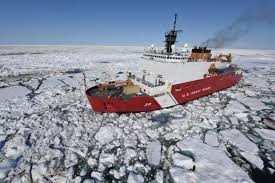
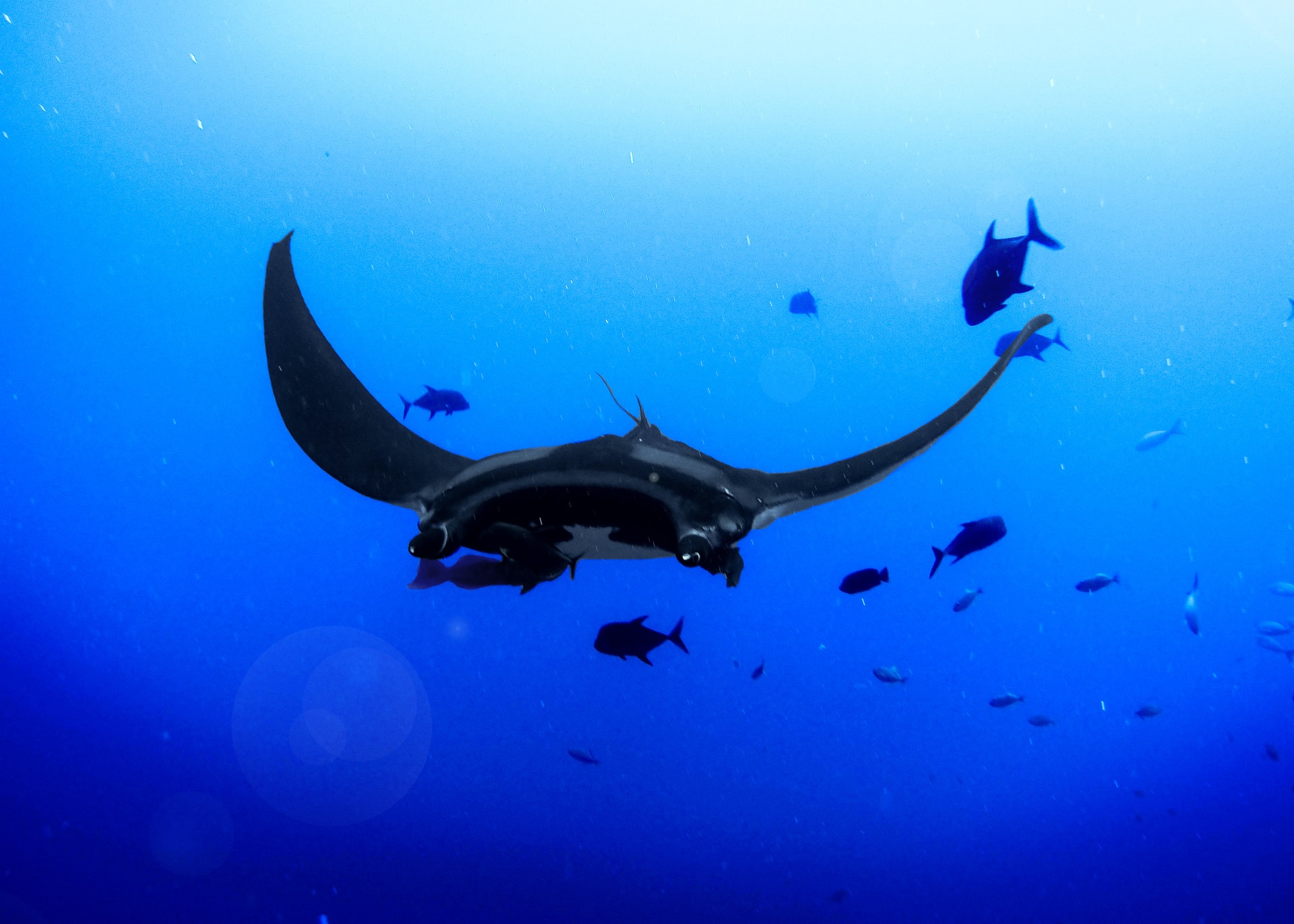
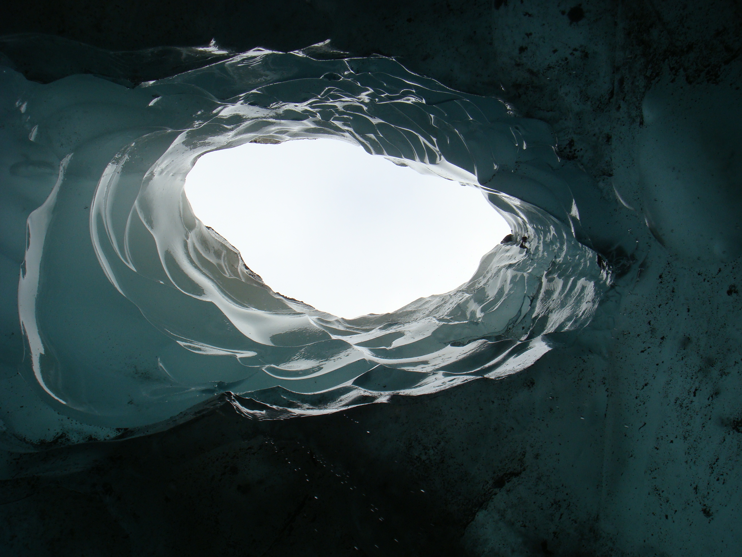
Exploration of the ocean and seafloor under permanent ice packs (Figures 1&2) is tricky. Massive sheets of moving ice complicate operations on the sea surface, making it so that special measures and instrumentation must be used for research. Autonomous underwater vehicles (AUV) are a preferred method of exploration because it is risky to send manned vehicles under the ice, although Russian explorers have done it. AUV utilization in these areas is not without its own challenges however, because the ice packs introduce drifting and unpredictable conditions (low vs. high cover). There are also obstacles related to acoustic shadowing from seafloor mountains, changes in sea water salinity, and limitations to the ship’s maneuverability.
Gakkel Ridge is an Arctic continuation of the Mid-Ocean Ridge with wide-spread hydrothermal venting on the slow spreading seafloor. It is relatively unexplored because of the thick ice pack covering the sea surface. On the Arctic Gakkel Vents Expedition (AGAVE) a group of scientists sought to investigate the biology, chemistry, and geology associated with hydrothermal venting on the ridge. Year-round ice cover limited the researchers’ ability to use standard oceanographic mapping and exploration methods, so high-latitude adapted AUV’s were utilized. This post outlines the modifications applied to the typical AUV protocol to ensure a successful dive and recovery of all unmanned vehicles deployed under the ice pack at Gakkel Ridge. The AGAVE cruise is unique from previous work in the Arctic and Antarctic because the aim was to work with the AUVs near the seafloor at 4000 meters, and because it focused on high resolution imaging and sampling.
Under-ice AUV operations
In open-ocean exploration missions AUV deployment and recovery is straightforward. The ship sails to a station and the AUV is deployed. When the dive is complete, the AUV rises to the surface, gets tracked by localization techniques (i.e. GPS), and then the ship moves to the location of the AUV and recovers it. In some instances, the AUV is tracked during its ascent.
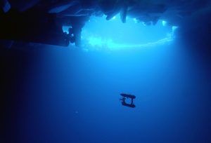
Open-ocean deployment and recovery protocol is not applicable in the Arctic because it is difficult to locate the AUV when it is trapped below meters of ice. Additionally, the ship does not have the flexibility to move in any direction because of the ice pack. Finally, while tracking the AUV during the ascent is a bonus in open-water, it is essential in ice-covered areas because the AUV is blocked from reaching the surface by the ice. It is also essential that the AUV is able to be controlled while under the water so that it can be directed to open holes in the ice for recovery.
On the AGAVE mission, AUV deployment began with the ship moving to an open hole in the ice within 1 km (0.62 miles) of the dive site. After the AUV was deployed it would follow a pre-programed mission. For recovery, the AUV ascended to shallow water, and then was navigated towards an open hole in the ice where it was able to be accessed. Maintaining control of and communication with the AUV during recovery was imperative to ensure the vehicle was not lost under the ice.
Mission Programs
After deployment, the AUV is controlled by two scripts. One controls the thrusters based on estimates from the acoustic signals, and it logs data from the science sensors. The second script controls the mission execution based on pre-programmed commands. In case of an emergency, the AUV has a safe mode where all the navigation commands are canceled and the AUV floats towards the surface under its own buoyancy to wait for additional commands. The emergency state is triggered if 1) the computer reboots 2) the memory is faulty 3) the ship sends an acoustic abort mission signal or 4) the maximum depth is exceeded or a critical sensor is failing.
Communication
Communication between the ship and the AUV is done with acoustic signaling because it is reliable for long distances underwater. Puma and Jaguar both use long base line (LBL) networks so that they are able to operate 7-10 km (4.4-6.2 miles) away from the ship. LBL communication uses a grid of acoustic beacons to receive and send sound pulses from the AUV. The time taken for the sounds to travel between the AUV and the beacons coupled with the known locations of the beacons, helps constrain the location of the AUV. An extra challenge with LBL communication in the ice above Gakkel Ridge is that the ice is moving at a rate of .2 knots (.23 mph), so the location of the beacons must be monitored with a helicopter to ensure accurate navigation. A second issue with acoustic signaling is that sound does not move at a constant speed through the seawater, so additional beacons need to be deployed from the ship so that a secondary location calculation can be used.
Mechanical design:
Puma and Jaguar are identical except for their sensors. Each AUV has two hulls that are connected by aluminum bars. Each hull has a pressure housing and foam for ballast. The lower hull is negatively buoyant while the upper hull is positively buoyant so that the AUV can stabilize in rough conditions. Building materials are certified to 6000 meters, to ensure safe use at the target working depth of 4000 m. Batteries (64 lithium ion) and a fiber optic gyro are stored in the lower hull while the upper hull houses the control computers. Each AUV weighs approximately 250 kg (550 lbs) in air, are 2 meters long (6.5 ft), and 1.5 metes tall (4.9 ft). They have three thrusters; two are between the hulls in back of the AUV to control forwarding motion and heading, while the third thruster controls vertical motion from the top hull. The cylindrical hull shape is meant to minimize drag and the slight forward tilt of the vehicle is designed to aid the vertical thruster in maintaining depth. As a precaution for if the batteries die before recovery, the AUVs are equipped with additional beacons (the same kind that are used to rescue and recover avalanche victims).
Sensors:
Puma and Jaguar are identical expect for their sensors. Puma, which is named for its capability of ‘Plume Mapping’, carries sensors for water column surveys, such as a pair of optical backscatter sensors that enable it to measure the amount of particulate matter in the water column. Jaguar is equipped with sensors that can conduct seafloor surveys, such as a down facing camera, imaging sonar, and a magnetometer. Puma and Jaguar both have instrumentation to detect temperature, conductivity, pressure, salinity, and oxidation potential.
Field Tests:
The AUVs were deployed during two trips (14 days and 6 weeks) to the Gakkel Ridge in 2007. Nine dives up to 4062 meters were conducted; some missions lasted up to 24 hours, the full battery life of the AUVs. Puma was deployed six times while Jaguar was deployed three times.
In the field, the AUV was deployed after pre-dive software and ballast checks were complete. Once in the water, the AUV descended to 30 meters (~100 ft) and had the opportunity to abort if any failures were detected. If the AUV was okay, it descended to 2500 meters (~1.5 miles) and transited to the dive site. Transiting off the seafloor ensured that the LBL signals were not obscured by the bathymetric features on the seafloor. Once at the dive site, the AUV descended to the target depth. After a mission, the AUV ascended to 200 meters (~650 ft) to wait for instruction for navigating back towards the ship.
Recovery of the AUV was successful after overcoming obstacles. For instance, in one case, ice drifts on recovery required the AUV to chase the ship for up to two hours. The chase was slightly aided by the fact that in shallow water the AUVs are able to move faster because of drag from the drifting ice. Once the AUV was able to reach an ice hole, it was recovered by the ship, by the ships dingy, or by the ships helicopter, depending on the ice conditions.
AUV’s are an effective method of exploration under permanent ice packs and, in my opinion, the fact that we are able to map the seafloor 4000 meters below an thick sheet of ice is exceptionally awesome. Improvements to communication, and eventually having the ability to deploy more than one AUV at once are both advancements that arctic seafloor explorers can look forward to in the future.
Hello, welcome to Oceanbites! My name is Annie, I’m a marine research scientist who has been lucky to have had many roles in my neophyte career, including graduate student, laboratory technician, research associate, and adjunct faculty. Research topics I’ve been involved with are paleoceanographic nutrient cycling, lake and marine geochemistry, biological oceanography, and exploration. My favorite job as a scientist is working in the laboratory and the field because I love interacting with my research! Some of my favorite field memories are diving 3000-m in ALVIN in 2014, getting to drive Jason while he was on the seafloor in 2017, and learning how to generate high resolution bathymetric maps during a hydrographic field course in 2019!