Paper: Andre Pattantyus, Steven Businger. On the interaction of Tropical Cyclone Flossie and emissions from Hawaii’s Kilauea volcano. Geophysical Research Letters, 2014; 41 (11): 4082 DOI: 10.1002/2014GL060033

And the outcome was electric!
Like with bad jokes, timing is everything. The punch line doesn’t make sense if you don’t know the back story, just like when mixing active volcanoes, tropical cyclones, and new volcanic smog dispersion models.
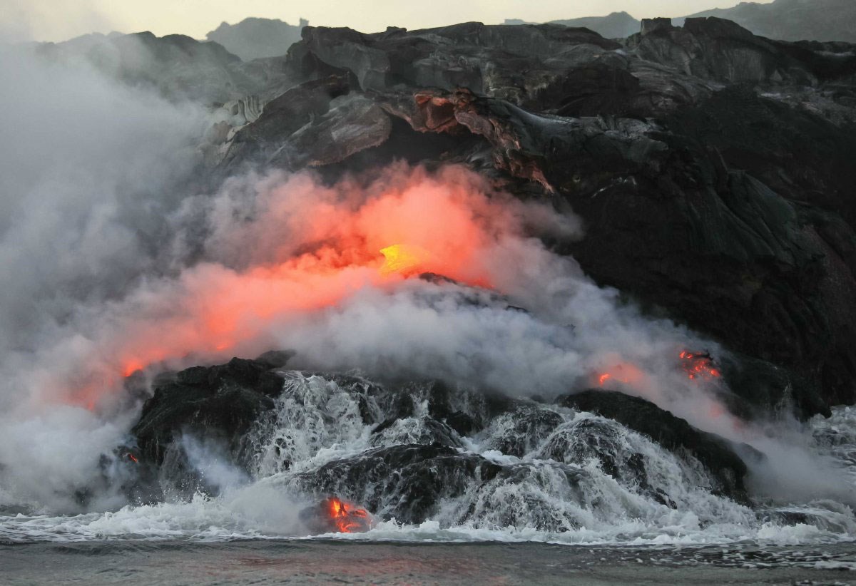
Since 1983, Hawaii’s active Kilauea volcano has been continuously spewing volcanic emissions, like SO2, into the atmosphere. These emissions are referred to as volcanic smog, or “vog”. With persistent northeast trade winds, these emissions frequently cause poor air quality for communities downwind and on the leeward side of the big island. Because vog can have negative health effects, scientists have recently developed complex models to predict which communities will be hardest hit on any given day.

Photo courtesy of starbulletin.com
Meanwhile, in early July 2013, Tropical Cyclone Flossie originated off the western coast of Africa and headed west. By the 19th, she was in the Pacific and on track to be the first tropical storm to directly hit Hawaii in two decades. Fortunately for residents, Flossie’s winds died down during the approach, downgrading her from a tropical storm to a tropical depression. This meant that rather than millions of dollars in losses and damages, Flossie cost only $24,000 along with power outages, coastal erosion, high winds, and epic surf.
However, on 28 July, the vog model forecasts showed that the volcanic emissions were going to wrap into Flossie’s system. The sulfate aerosols developed in vog are known to act as nuclei for cloud development and are responsible for high occurrences of lightening. So what happens when you mix vog and tropical depressions? Would it change the structure of the rain bands? Would it cause more lightening? That is what Pattantyus and Businger wanted to find out and they had the model to do it.
Simple particle trajectories from the model showed volcanic emissions wrapped into the storm circulation as high as the middle troposphere. What the team found was that convection from tropical storms and vog entrainment contributed to the anomalously vigorous lighting occurrences as Flossie approached the island of Hawai’i. This was surprising due to the storm’s decaying trend, lack of symmetry/organization, and lack of lightening prior to it’s interaction with vog.

As with all good science, there is more to be done. The authors plan on simulating the storm-volcanic plume interaction using another model, such as the Weather Research and Forecasting model coupled with chemistry (WFR-Chem).
With academic backgrounds in oceanography, geology, and environmental education, Sarah has traveled to far reaches of the planet to learn everything she can about our natural world. While exploring, she dabbles in photography and is rarely found without a book. She has no plans to stop any time soon.


Had a good chuckle at the origins of Flossie.
Pacific cyclones that hit Hawaii originate of the west coast of central America. The ones that originate off western Africa hit the Caribbean.
Thanks for your comment, Ross. You are correct about the storms originating off west Africa hitting the Caribbean. In the case of Flossie, the system originated from a tropical wave generated off the coast of west Africa on July 9. It then tracked across the Atlantic traveling at 15 – 20 kts, reaching Central America on July 18. By July 24, the disturbance was tracked to the south of Baja California. It is here that it turned into a tropical depression as it became more consolidated and developed stronger circulation patterns.
If you would like to read more about the genesis of Flossie, the National Hurricane Center at NOAA published a nice report that can be found here: http://www.nhc.noaa.gov/data/tcr/EP062013_Flossie.pdf